|
|
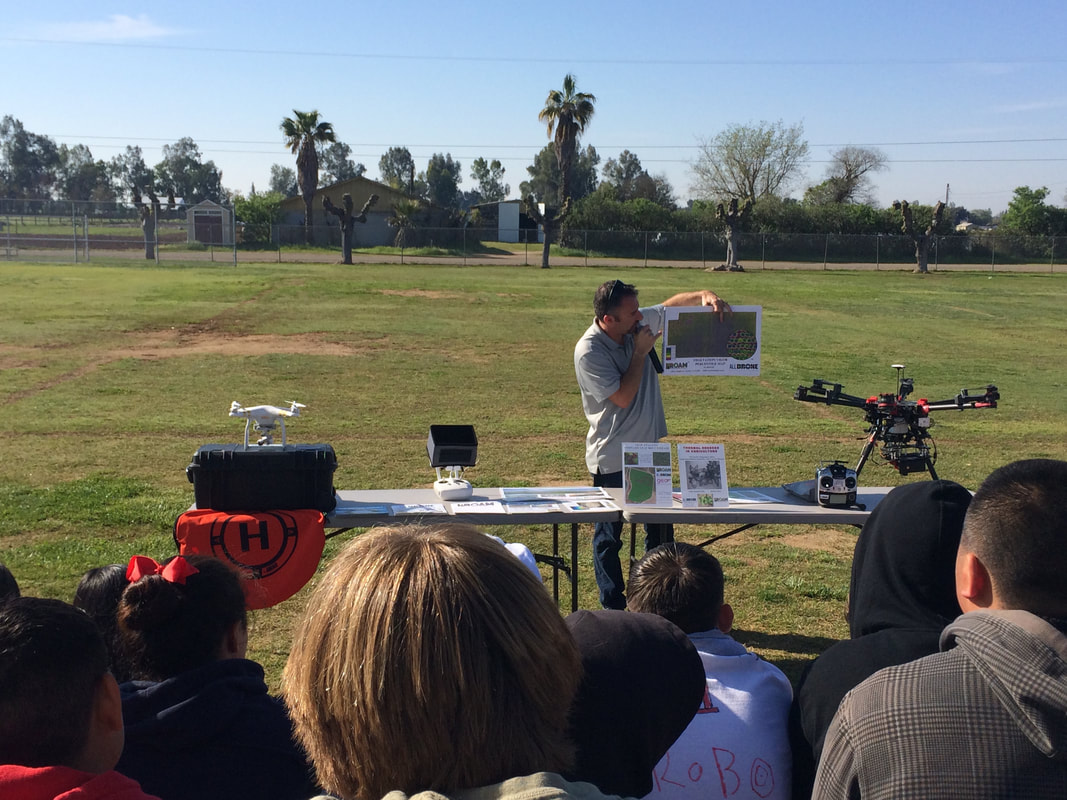
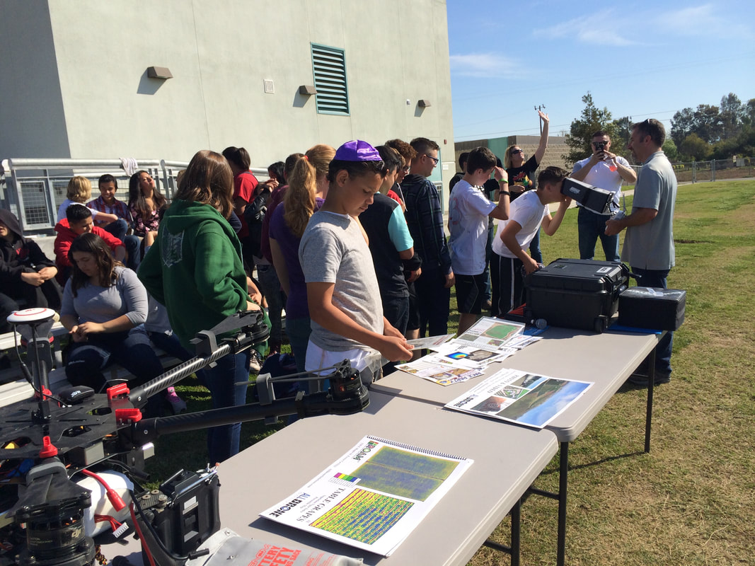
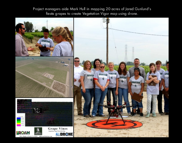
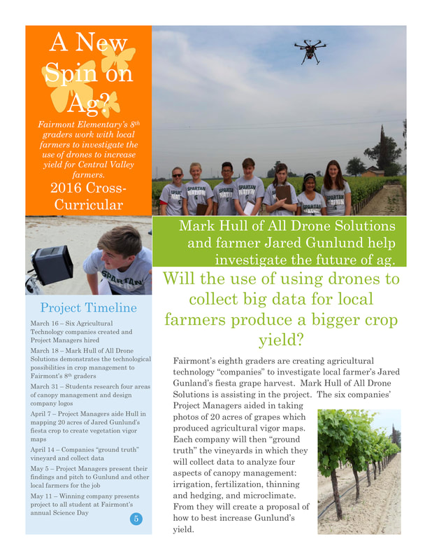
Mark Hull owner of All Drone Solutions teaching students how drones are used in Ag.
|
|
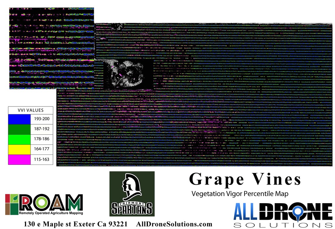
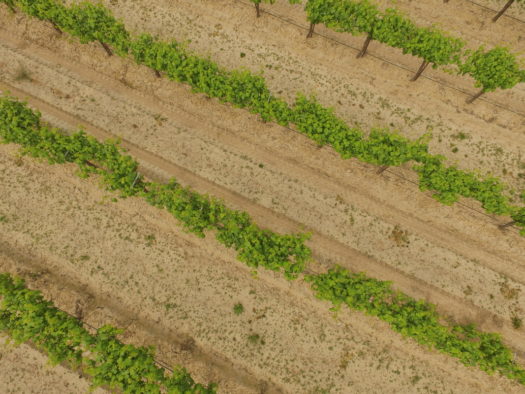
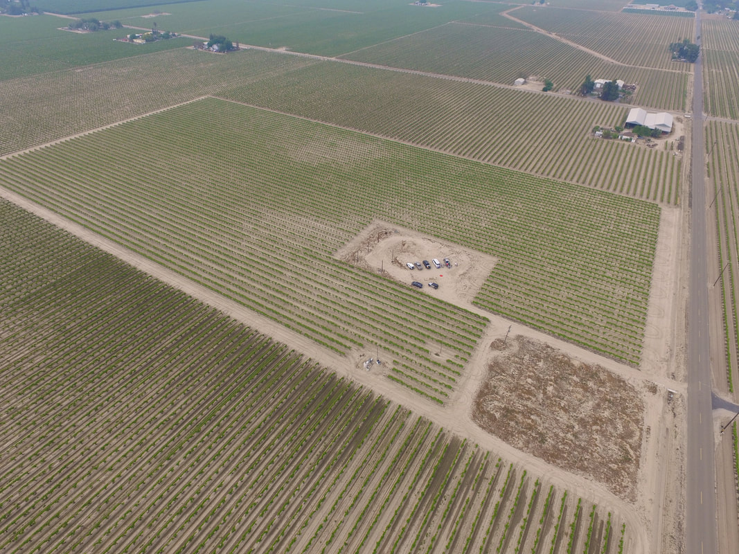
Student Project Managers aided Mark Hull in mapping 20 acres of Jared Gunlund's fiesta grapes to create a Vegetation Vigor map using a drone.
|
|
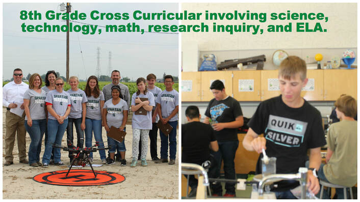
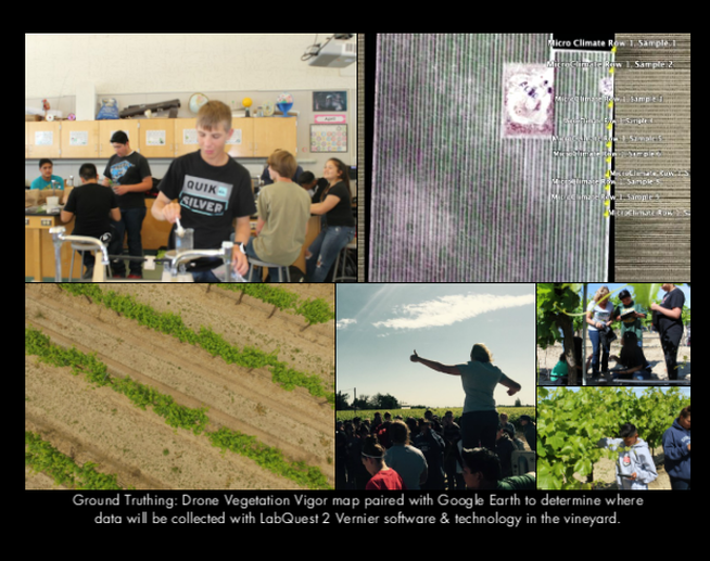
80 8th grade students used the drone vegetation vigor map paired with Google Earth to determine where data will be collected with LabQuest 2 Vernier software & technology in the vineyard.
|
|